
Bestand:Vietnam districts.png
Grootte van deze voorvertoning: 496 × 600 pixels. Andere resoluties: 198 × 240 pixels | 397 × 480 pixels | 635 × 768 pixels | 1.167 × 1.411 pixels.
Oorspronkelijk bestand (1.167 × 1.411 pixels, bestandsgrootte: 85 kB, MIME-type: image/png)
Beschrijving
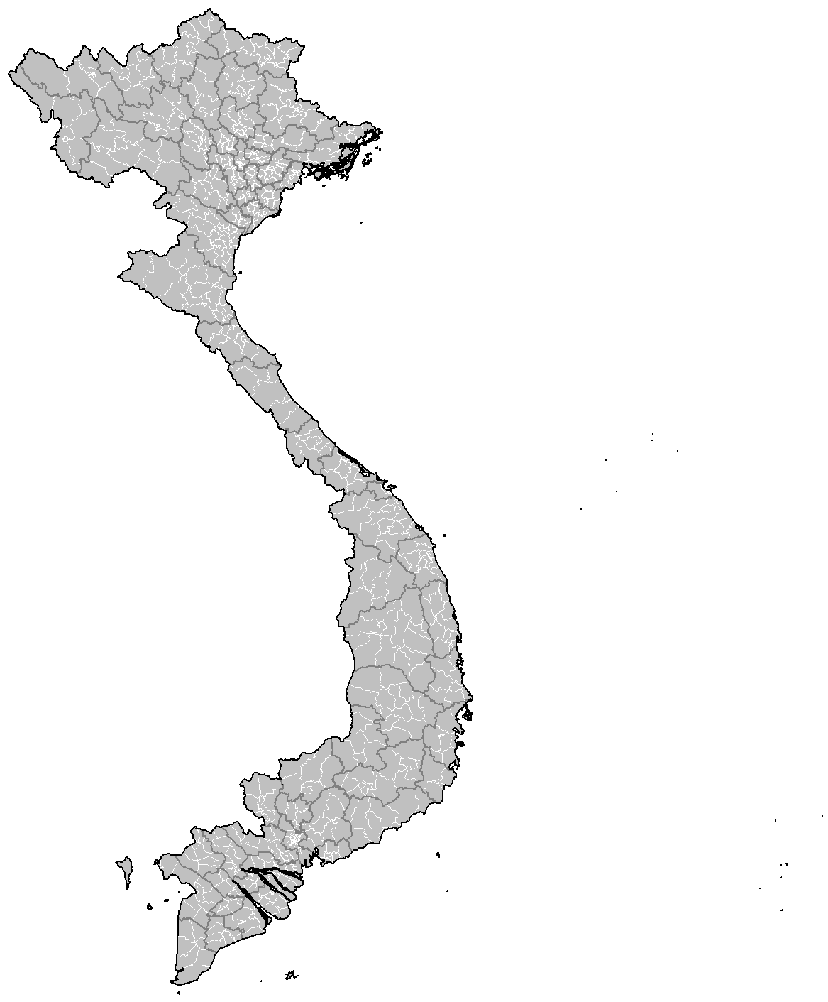
| Beschrijving | Map of the districts of Vietnam. Created by Rarelibra 20:44, 15 November 2007 (UTC) for public domain use, using MapInfo Professional v8.5 and various mapping resources. |
| Datum | 15 november 2007 (originele uploaddatum) |
| Bron | Geen machineleesbare bron opgegeven. Eigen werk aangenomen (gebaseerd op auteursrechtclaims). |
| Auteur | Geen machineleesbare auteur aanwezig. Op basis van auteursrechtclaims wordt auteur Rarelibra aangenomen. |
Licentie
| Ik, de auteursrechthebbende van dit werk, geef dit werk vrij in het publieke domein. Dit is wereldwijd van toepassing. In sommige landen is dit wettelijk niet mogelijk; in die gevallen geldt: Ik sta iedereen toe dit werk voor eender welk doel te gebruiken, zonder enige voorwaarden, tenzij zulke voorwaarden door de wet worden voorgeschreven. |
Bestandsgeschiedenis
Klik op een datum/tijd om het bestand te zien zoals het destijds was.
| Datum/tijd | Miniatuur | Afmetingen | Gebruiker | Opmerking | |
|---|---|---|---|---|---|
| huidige versie | 15 nov 2007 22:44 | | 1.167 × 1.411 (85 kB) | Rarelibra | Map of the districts of Vietnam. Created by ~~~~ for public domain use, using MapInfo Professional v8.5 and various mapping resources. |
Bestandsgebruik
Dit bestand wordt op de volgende pagina gebruikt:
Globaal bestandsgebruik
De volgende andere wiki's gebruiken dit bestand:
- Gebruikt op de.wikipedia.org
- Gebruikt op en.wikipedia.org
- Gebruikt op fr.wikipedia.org
- Gebruikt op fr.wikinews.org
- Gebruikt op ia.wikipedia.org
- Gebruikt op incubator.wikimedia.org
- Gebruikt op it.wikipedia.org
- Gebruikt op ms.wikipedia.org
- Gebruikt op ta.wikipedia.org
- Gebruikt op tl.wikipedia.org
- Gebruikt op ur.wikipedia.org
- Gebruikt op vi.wikipedia.org
- Gebruikt op www.wikidata.org
- Gebruikt op zh.wikipedia.org


