
Bestand:Map of Ohio highlighting Wood County.svg

Afmetingen van deze voorvertoning van het type PNG van dit SVG-bestand: 552 × 600 pixels Andere resoluties: 221 × 240 pixels | 442 × 480 pixels | 707 × 768 pixels | 942 × 1.024 pixels | 1.885 × 2.048 pixels | 1.050 × 1.141 pixels.
Oorspronkelijk bestand (SVG-bestand, nominaal 1.050 × 1.141 pixels, bestandsgrootte: 37 kB)
Beschrijving
| Beschrijving |
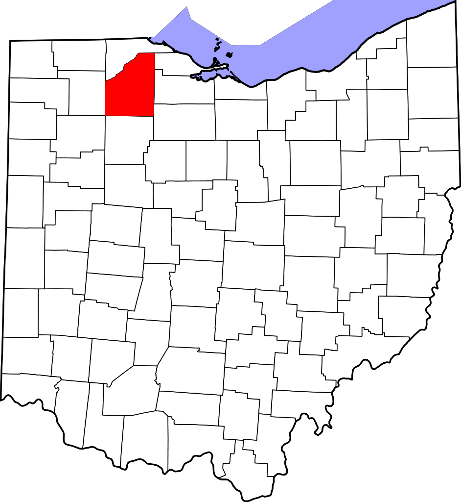
English: This is a locator map showing Wood County in Ohio. For more information, see Commons:United States county locator maps. |
| Datum | |
| Bron |
Eigen werk: English: The maps use data from nationalatlas.gov, specifically countyp020.tar.gz on the Raw Data Download page. The maps also use state outline data from statesp020.tar.gz. The Florida maps use hydrogm020.tar.gz to display Lake Okeechobee. |
| Auteur | David Benbennick |
Licentie
| Ik, de auteursrechthebbende van dit werk, geef dit werk vrij in het publieke domein. Dit is wereldwijd van toepassing. In sommige landen is dit wettelijk niet mogelijk; in die gevallen geldt: Ik sta iedereen toe dit werk voor eender welk doel te gebruiken, zonder enige voorwaarden, tenzij zulke voorwaarden door de wet worden voorgeschreven. |
Bestandsgeschiedenis
Klik op een datum/tijd om het bestand te zien zoals het destijds was.
| Datum/tijd | Miniatuur | Afmetingen | Gebruiker | Opmerking | |
|---|---|---|---|---|---|
| huidige versie | 25 jun 2024 03:47 | | 1.050 × 1.141 (37 kB) | Nux | fix rendering (remove clipping) |
| 12 feb 2006 18:11 |  | 3.675 × 3.995 (58 kB) | David Benbennick | {{subst:User:Dbenbenn/clm|county=Wood County|state=Ohio|type=county}} |
Bestandsgebruik
Dit bestand wordt op de volgende pagina gebruikt:
Globaal bestandsgebruik
De volgende andere wiki's gebruiken dit bestand:
- Gebruikt op ar.wikipedia.org
- Gebruikt op azb.wikipedia.org
- Gebruikt op bg.wikipedia.org
- Gebruikt op bpy.wikipedia.org
- Gebruikt op ca.wikipedia.org
- Millbury
- Bairdstown
- Bloomdale
- Bowling Green (Ohio)
- Bradner
- Custar
- Cygnet
- Fostoria (Ohio)
- Grand Rapids (Ohio)
- Haskins
- Hoytville
- Jerry City
- Luckey
- Milton Center
- North Baltimore
- Northwood (Ohio)
- Pemberville
- Perrysburg (Ohio)
- Portage (Ohio)
- Risingsun
- Rossford
- Tontogany
- Walbridge
- Wayne (Ohio)
- West Millgrove
- Weston (Ohio)
- Plantilla:Comtat de Wood (Ohio)
- Gebruikt op cdo.wikipedia.org
- Gebruikt op ceb.wikipedia.org
- Gebruikt op ce.wikipedia.org
- Gebruikt op cy.wikipedia.org
- Gebruikt op da.wikipedia.org
- Gebruikt op de.wikipedia.org
- Gebruikt op en.wikipedia.org
Globaal gebruik van dit bestand bekijken.


