
Bestand:Map of Kentucky highlighting Hardin County.svg

Afmetingen van deze voorvertoning van het type PNG van dit SVG-bestand: 799 × 344 pixels Andere resoluties: 320 × 138 pixels | 640 × 276 pixels | 1.024 × 441 pixels | 1.280 × 551 pixels | 2.560 × 1.102 pixels | 2.708 × 1.166 pixels.
Oorspronkelijk bestand (SVG-bestand, nominaal 2.708 × 1.166 pixels, bestandsgrootte: 112 kB)
Beschrijving
| Beschrijving |
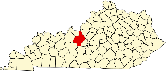
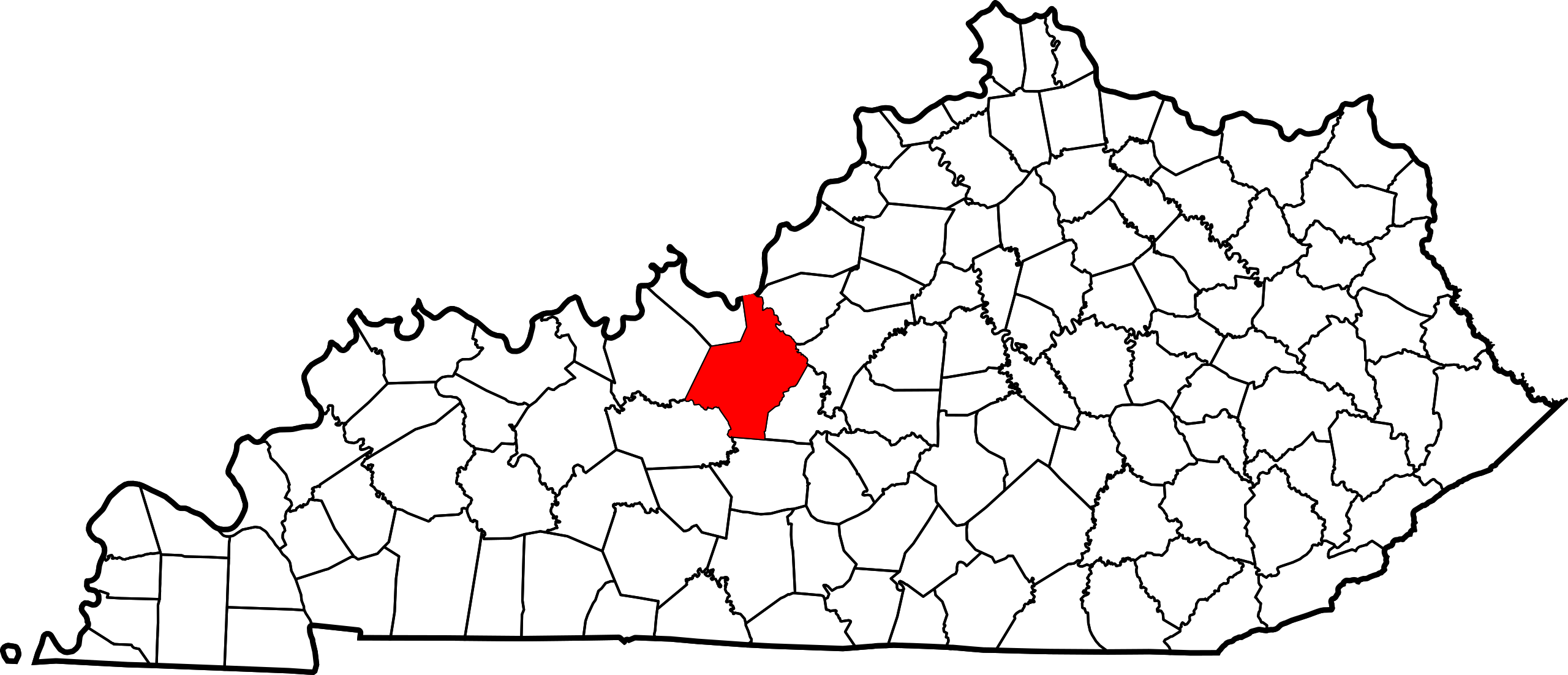
English: This is a locator map showing Hardin County in Kentucky. For more information, see Commons:United States county locator maps. |
| Datum | |
| Bron |
Eigen werk: English: The maps use data from nationalatlas.gov, specifically countyp020.tar.gz on the Raw Data Download page. The maps also use state outline data from statesp020.tar.gz. The Florida maps use hydrogm020.tar.gz to display Lake Okeechobee. |
| Auteur | David Benbennick |
Licentie
| Ik, de auteursrechthebbende van dit werk, geef dit werk vrij in het publieke domein. Dit is wereldwijd van toepassing. In sommige landen is dit wettelijk niet mogelijk; in die gevallen geldt: Ik sta iedereen toe dit werk voor eender welk doel te gebruiken, zonder enige voorwaarden, tenzij zulke voorwaarden door de wet worden voorgeschreven. |
Bestandsgeschiedenis
Klik op een datum/tijd om het bestand te zien zoals het destijds was.
| Datum/tijd | Miniatuur | Afmetingen | Gebruiker | Opmerking | |
|---|---|---|---|---|---|
| huidige versie | 25 jun 2024 06:11 | | 2.708 × 1.166 (112 kB) | Nux | fix rendering (remove clipping) |
| 12 feb 2006 14:22 |  | 6.770 × 2.916 (127 kB) | David Benbennick | {{subst:User:Dbenbenn/clm|county=Hardin County|state=Kentucky}} |
Bestandsgebruik
Dit bestand wordt op de volgende pagina gebruikt:
Globaal bestandsgebruik
De volgende andere wiki's gebruiken dit bestand:
- Gebruikt op ar.wikipedia.org
- Gebruikt op azb.wikipedia.org
- Gebruikt op bg.wikipedia.org
- Gebruikt op bpy.wikipedia.org
- Gebruikt op ca.wikipedia.org
- Gebruikt op cdo.wikipedia.org
- Gebruikt op ceb.wikipedia.org
- Gebruikt op ce.wikipedia.org
- Gebruikt op cs.wikipedia.org
- Gebruikt op cy.wikipedia.org
- Gebruikt op de.wikipedia.org
- Gebruikt op el.wikipedia.org
- Gebruikt op en.wikipedia.org
- Fort Knox
- Hardin County, Kentucky
- Elizabethtown, Kentucky
- Radcliff, Kentucky
- Sonora, Kentucky
- Vine Grove, Kentucky
- West Point, Kentucky
- Muldraugh, Kentucky
- Upton, Kentucky
- List of counties in Kentucky
- Glendale, Kentucky
- Cecilia, Kentucky
- Template:Hardin County, Kentucky
- User:Nyttend/County templates/KY/1
- National Register of Historic Places listings in Hardin County, Kentucky
- Rineyville, Kentucky
- Category:Populated places in Hardin County, Kentucky
- Big Spring, Kentucky
- Limp, Kentucky
- Eastview, Kentucky
- White Mills, Kentucky
- Nolin, Kentucky
- Saint John, Kentucky
- Howe Valley, Kentucky
- Star Mills, Kentucky
- Hardin Springs, Kentucky
- Template:HardinCountyKY-geo-stub
- Stephensburg, Kentucky
- Old Stephensburg, Kentucky
- Gebruikt op es.wikipedia.org
- Gebruikt op et.wikipedia.org
- Gebruikt op eu.wikipedia.org
Globaal gebruik van dit bestand bekijken.


