
Bestand:Mali relief location map.jpg
Grootte van deze voorvertoning: 629 × 600 pixels. Andere resoluties: 252 × 240 pixels | 503 × 480 pixels | 805 × 768 pixels | 1.074 × 1.024 pixels | 1.900 × 1.812 pixels.
Oorspronkelijk bestand (1.900 × 1.812 pixels, bestandsgrootte: 1,72 MB, MIME-type: image/jpeg)
| Beschrijving |
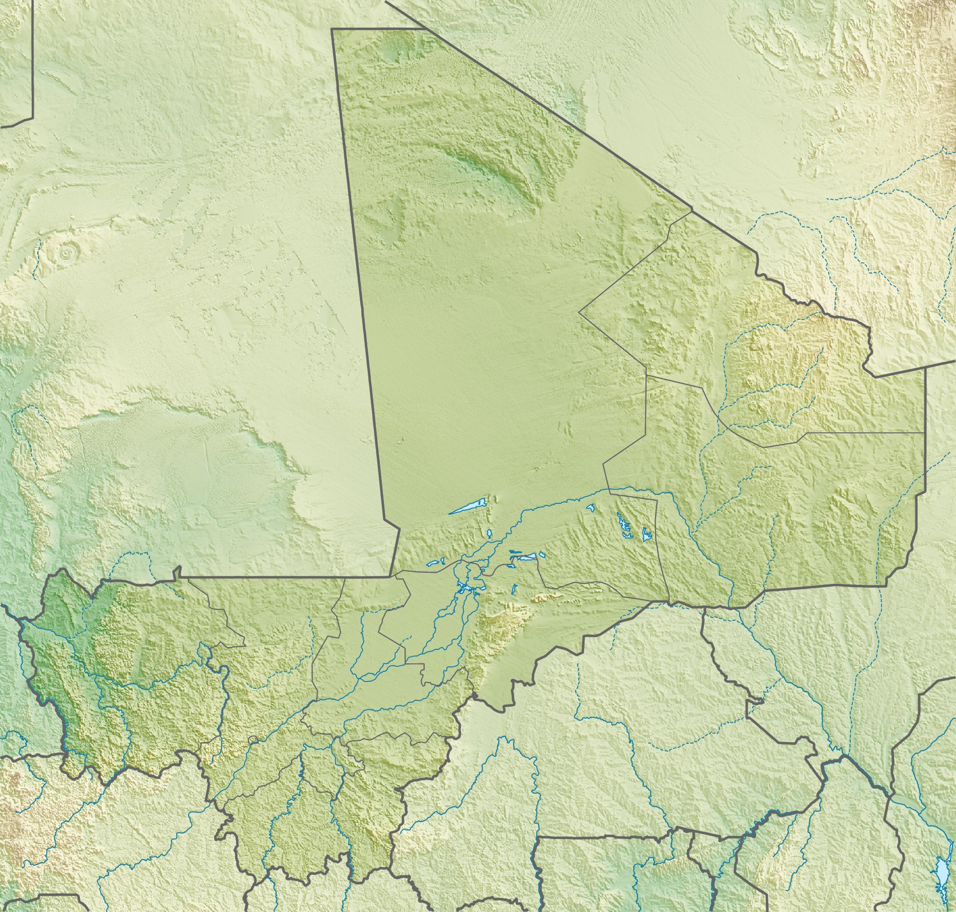
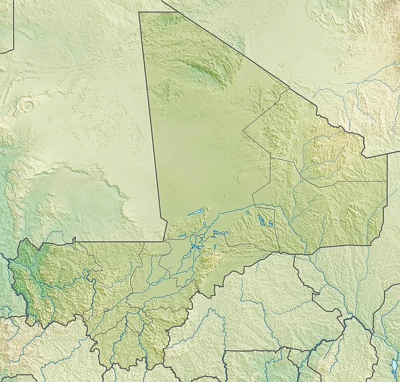
Deutsch: Physische Positionskarte von Malienne
Quadratische Plattkarte, N-S-Streckung 105 %. Geographische Begrenzung der Karte:
English: Physical location map of Malienne
Equirectangular projection, N/S stretching 105 %. Geographic limits of the map:
|
| Datum | |
| Bron | Eigen werk, using map data from administrative map by NordNordWest. The relief was created from SRTM-30 relief data |
| Auteur | Carport |
| Toestemming (Hergebruik van dit bestand) |
Dit bestand is gelicenseerd onder de Creative Commons-licentie Naamsvermelding-Gelijk delen 3.0 Unported
|
| Andere versies |
|
Bestandsgeschiedenis
Klik op een datum/tijd om het bestand te zien zoals het destijds was.
| Datum/tijd | Miniatuur | Afmetingen | Gebruiker | Opmerking | |
|---|---|---|---|---|---|
| huidige versie | 6 mei 2010 17:22 | | 1.900 × 1.812 (1,72 MB) | Carport | {{Information |Description={{de|Physische Positionskarte von {{w|Mali|3=de}}}} Quadratische Plattkarte, N-S-Streckung 105 %. Geographische Begrenzung der Karte: * N: 25.5° N * S: 9.7° N * W: 12.6° W * O: 4.8° O {{en|Physical location map of {{w|Mali}} |
Bestandsgebruik
Dit bestand wordt op de volgende 8 pagina's gebruikt:
Globaal bestandsgebruik
De volgende andere wiki's gebruiken dit bestand:
- Gebruikt op ar.wikipedia.org
- Gebruikt op arz.wikipedia.org
- Gebruikt op ast.wikipedia.org
- Gebruikt op az.wikipedia.org
- Gebruikt op ba.wikipedia.org
- Gebruikt op be.wikipedia.org
- Gebruikt op bg.wikipedia.org
- Gebruikt op bn.wikipedia.org
- Gebruikt op bs.wikipedia.org
- Gebruikt op ca.wikipedia.org
- Gebruikt op ceb.wikipedia.org
- Gebruikt op ce.wikipedia.org
- Gebruikt op ckb.wikipedia.org
- Gebruikt op cs.wikipedia.org
- Gebruikt op da.wikipedia.org
- Gebruikt op de.wikipedia.org
- Mali
- Timbuktu
- Manantali-Talsperre
- Massina
- Gossi (See)
- Hombori Tondo
- Vorlage:Positionskarte Mali
- Wikipedia:Kartenwerkstatt/Positionskarten/Afrika
- Débo-See
- Benutzer:Carport/Galerie
- Adjelhoc
- Faguibine
- Diafarabé
- Welterbe in Mali
- Kabara (Mali)
- Téméra
- Ber (Timbuktu)
- Liste von Kraftwerken in Mali
- Kraftwerk Félou
- Manantali-See
Globaal gebruik van dit bestand bekijken.


