
Bestand:Highland UK location map.svg

Afmetingen van deze voorvertoning van het type PNG van dit SVG-bestand: 556 × 600 pixels Andere resoluties: 222 × 240 pixels | 445 × 480 pixels | 712 × 768 pixels | 949 × 1.024 pixels | 1.898 × 2.048 pixels | 1.320 × 1.424 pixels.
Oorspronkelijk bestand (SVG-bestand, nominaal 1.320 × 1.424 pixels, bestandsgrootte: 5,26 MB)
| Beschrijving |
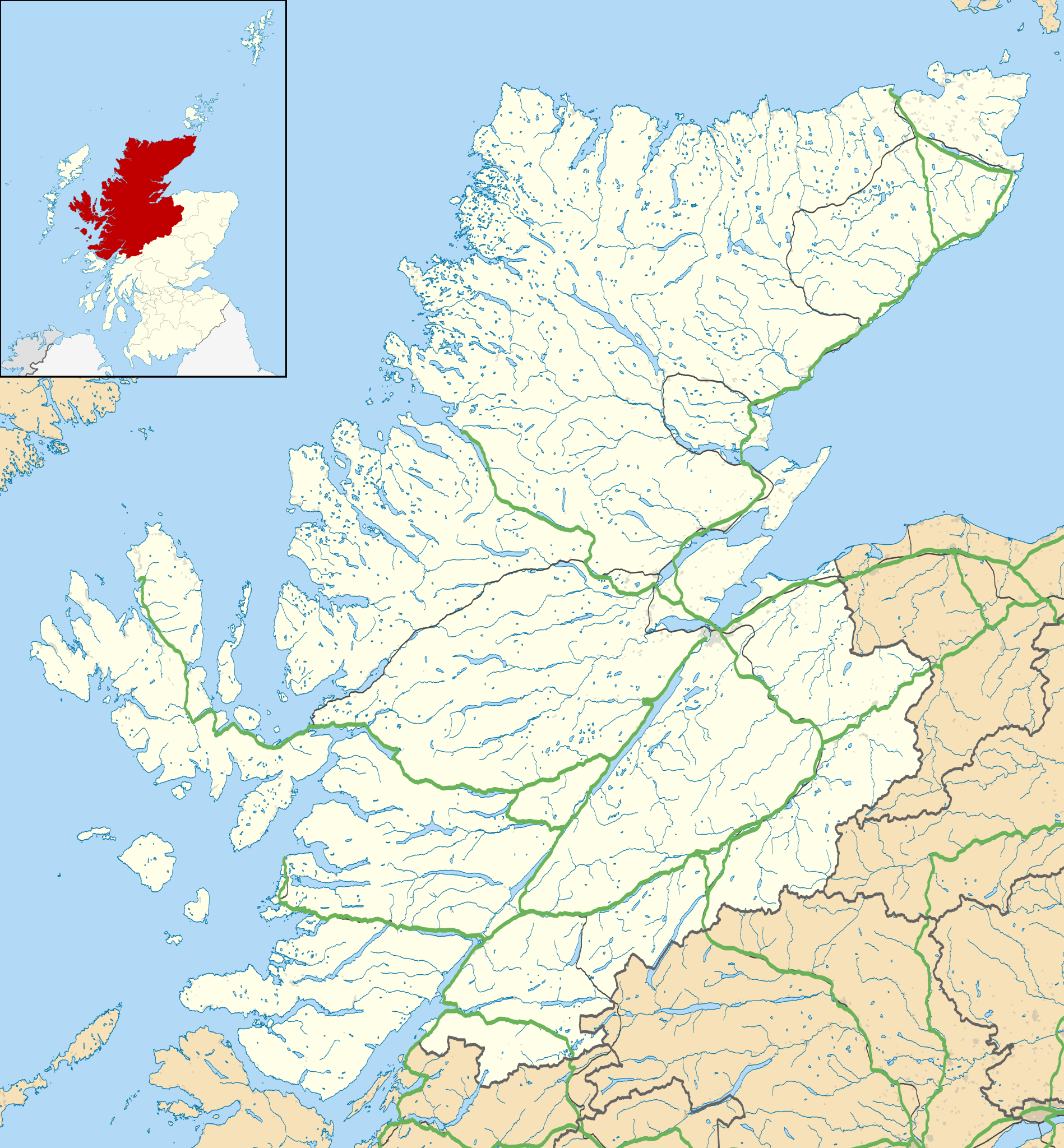
Blank map of Highland, UK with the following information shown:
Equirectangular map projection on WGS 84 datum, with N/S stretched 180% Geographic limits:
|
| Datum | |
| Bron |
|
| Auteur | Nilfanion, created using Ordnance Survey data |
| Toestemming (Hergebruik van dit bestand) |
Dit bestand is gelicenseerd onder de Creative Commons-licentie Naamsvermelding-Gelijk delen 3.0 Unported Naamsvermelding: Contains Ordnance Survey data © Crown copyright and database right
|
| Andere versies | File:Highland UK blank map.svg - Blank map |
Bestandsgeschiedenis
Klik op een datum/tijd om het bestand te zien zoals het destijds was.
| Datum/tijd | Miniatuur | Afmetingen | Gebruiker | Opmerking | |
|---|---|---|---|---|---|
| huidige versie | 26 sep 2010 22:20 | | 1.320 × 1.424 (5,26 MB) | Nilfanion | {{Information |Description=Blank map of Highland, UK with the following information shown: *Administrative borders *Coastline, lakes and rivers *Roads and railways *Urban areas Equirectangular map projection on WGS 84 datum, |
Bestandsgebruik
Dit bestand wordt op de volgende 38 pagina's gebruikt:
- Aberarder
- Aberchalder
- Abriachan
- Ach' An Todhair
- Achanalt
- Achandunie
- Achany
- Achaphubuil
- Acharacle
- Acharn
- Achateny
- Achentoul
- Achgarve
- Achiemore (Durness, Sutherland)
- Achiemore (Rhiconich, Sutherland)
- Achiltibuie
- Achina (Schotland)
- Achinduich
- Achingills
- Achintee (Fort William)
- Achintee (Ross-shire)
- Achmelvich
- Achmore (Highland)
- Achnabat
- Achnacarnin
- Achnacarry
- Achnaconeran
- Achnagarron
- Achnahaird
- Achnahanat
- Arnisdale Free Church
- Aultbea Free Church
- Caledonian Stadium
- Loch Broome Free Church
- Smoo Cave
- Victoria Park (Dingwall)
- Vuurtoren van Stoer Head
- Sjabloon:Positiekaart Highland
Globaal bestandsgebruik
De volgende andere wiki's gebruiken dit bestand:
- Gebruikt op ar.wikipedia.org
- Gebruikt op arz.wikipedia.org
- Gebruikt op ba.wikipedia.org
- Gebruikt op bg.wikipedia.org
- Gebruikt op ceb.wikipedia.org
- Gebruikt op de.wikipedia.org
- Kernkraftwerk Dounreay
- Skye Bridge
- Caledonian Stadium
- Neist Point
- Victoria Park (Dingwall)
- Loch Eriboll
- Tarbat Ness Lighthouse
- Ardnamurchan Lighthouse
- Sandwood Bay
- Vorlage:Positionskarte Schottland Highland
- Flughafen Inverness
- Culloden Viaduct
- Fearn Airfield
- Bone Caves
- Wick Airport
- Flugplatz Broadford
- Flugplatz Plockton
- Affric-Beauly-Kraftwerke
- Cromarty Lighthouse
- Leuchtturm Dunnet Head
- Telford Street Park
- Chanonry Lighthouse
- Noss Head Lighthouse
- Cape Wrath Lighthouse
- Gebruikt op en.wikipedia.org
Globaal gebruik van dit bestand bekijken.


