
Bestand:Bokhoven-Blaeu-1665.jpg

Grootte van deze voorvertoning: 528 × 600 pixels. Andere resoluties: 211 × 240 pixels | 423 × 480 pixels | 678 × 770 pixels.
Oorspronkelijk bestand (678 × 770 pixels, bestandsgrootte: 349 kB, MIME-type: image/jpeg)
Beschrijving
| Beschrijving |
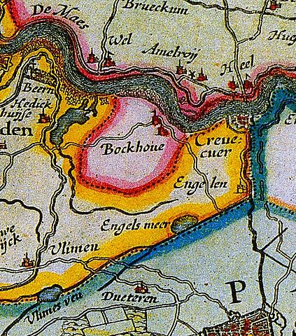
English: Map of the lordship of Bokhoven
Nederlands: kaart van de heerlijkheid Bokhoven |
||||||||||||||||||||||||||
| Datum | |||||||||||||||||||||||||||
| Bron | Atlas Maior | ||||||||||||||||||||||||||
| Auteur |
|
||||||||||||||||||||||||||
.jpg)
Licentie
|
Dit werk bevindt zich in het publiek domein in landen en gebieden waar de auteursrechttermijn het leven van de auteur plus 100 jaar of minder is. | |
| Van dit bestand is vastgesteld dat er geen bekende auteursrechtaanspraken op rusten, alle aanverwante en naburige rechten daarbij inbegrepen. | |
Bestandsgeschiedenis
Klik op een datum/tijd om het bestand te zien zoals het destijds was.
| Datum/tijd | Miniatuur | Afmetingen | Gebruiker | Opmerking | |
|---|---|---|---|---|---|
| huidige versie | 11 dec 2010 22:01 | | 678 × 770 (349 kB) | Joostik | {{Information |Description={{en|1=Map of the lordship of Bokhoven}} {{nl|1=kaart van de heerlijkheid Bokhoven}} |Source=Atlas Maior |Author=Joan Blaeu |Date=1665 |Permission= |other_versions= }} Category:Maps of the Netherlands |
Bestandsgebruik
Dit bestand wordt op de volgende 3 pagina's gebruikt:
Globaal bestandsgebruik
De volgende andere wiki's gebruiken dit bestand:
- Gebruikt op li.wikipedia.org
- Gebruikt op www.wikidata.org


